

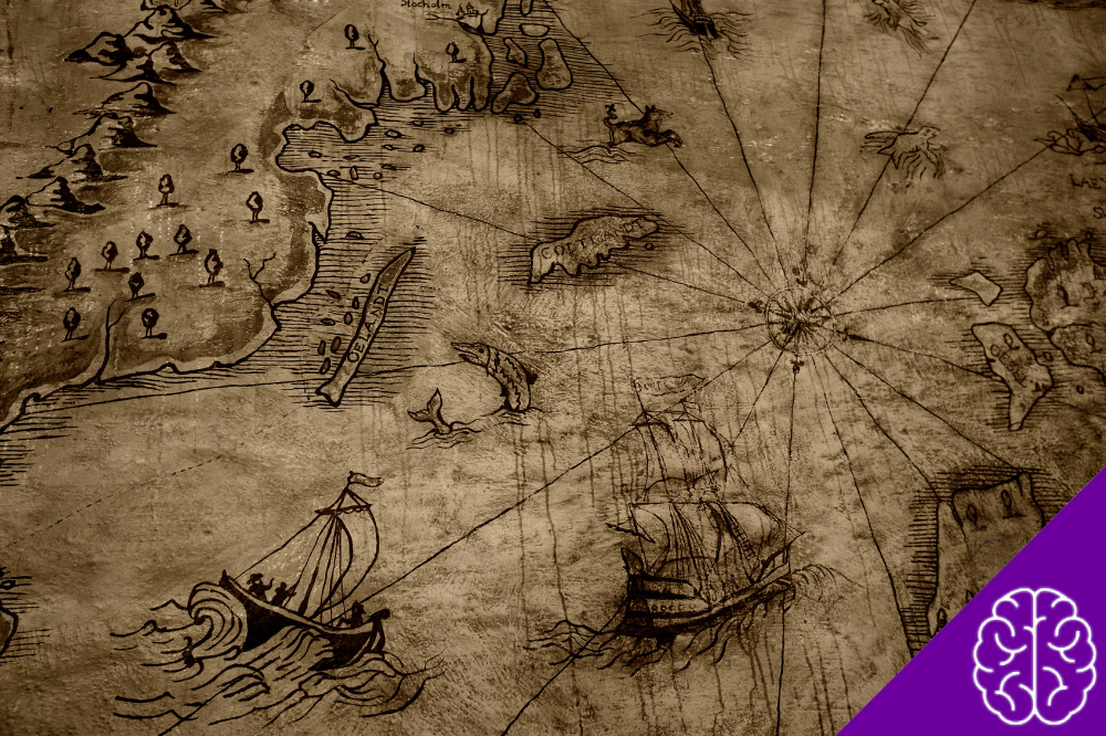
Some ancient maps are difficult to interpret because their creators used very different ideas about geography, scale, and the purpose of a map. Others survive only through later copies, leaving historians with questions about what the original looked like.
These five examples are particularly interesting because the evidence is documented, while some aspects of their creation and meaning remain unresolved.
1. The Babylonian Map of the World
The Babylonian Map of the World is a clay tablet from the 6th century BC, now held by the British Museum. It represents the world as a circular landmass surrounded by a body of water called the “Bitter River.” Babylon, the Euphrates, Assyria and other places appear on the tablet.
What the map shows
The tablet combines recognizable geography with a much broader Babylonian conception of the world.
It includes:
- Babylon near the Euphrates
- Assyria and Urartu
- Several other named regions
- A surrounding body of water
- Eight outer regions described in the accompanying text
Some of the locations are positioned inaccurately by modern standards. The British Museum notes, for example, that Habban appears in the wrong location, while Urartu sits relatively correctly north of Assyria.
Why does it still raise questions?
The tablet does not function like a modern geographic map. Its outer regions have a cosmic and possibly mythological dimension, and the text on the reverse describes places and beings beyond the central inhabited world.
There is also an interesting clue about its history: a note says the tablet was copied from an earlier document.
So the surviving object is not necessarily the first version of the information it contains.
2. The Turin Mining Map
The Turin Mining Map, also known as the Turin Gold Mine Papyrus, comes from ancient Egypt and dates to the reign of Ramesses IV, around 1150 BC.
The Museo Egizio describes it as one of the earliest known geographical maps and identifies the landscape as Wadi Hammamat, a desert valley connecting the Nile Valley with the Red Sea.
The map is especially interesting because it records the landscape in considerable detail.
What appears on the papyrus?
The map depicts:
- Mountain ranges
- Wadis, or dry riverbeds
- Roads through the valley
- Different types of rock
- Amun’s chapel
- The location of a royal inscription
- Areas associated with stone and mineral resources
The mapmaker did not reproduce the landscape at a constant scale. The actual bends of Wadi Hammamat were also simplified so the route could fit on the scroll.
What remains uncertain?
The papyrus combines a map with written information and other texts, making its exact use more complicated than a simple navigation chart.
Its significance is clear: Egyptians were recording terrain, routes and geological information in a structured visual form more than 3,000 years ago.
What researchers continue to examine is how the map’s visual information relates to the accompanying texts and to the practical activities documented on the papyrus.
3. Ptolemy’s Geography
Claudius Ptolemy’s Geography, written in the 2nd century AD, changed the way later European and Mediterranean scholars approached cartography.
Ptolemy compiled coordinates for roughly 8,000 places and described methods for representing the known world using latitude and longitude.
There is an important catch: the maps commonly associated with Ptolemy today are not surviving originals from his lifetime.
The missing original
Ptolemy’s geographical work survived through later manuscript traditions. Byzantine scholars began reintroducing versions of the work to Italy around the beginning of the 14th century, and a Latin translation appeared in 1406. Printed editions followed in the late 15th century.
That creates a genuine historical question:
How closely do surviving Ptolemaic maps represent the maps Ptolemy himself intended?
We can study his coordinate system and geographical descriptions, but later mapmakers also produced their own versions.
Another problem: accuracy
Ptolemy’s system was sophisticated, but it was not accurate by modern standards.
His work contained geographical errors, including distortions resulting from incorrect estimates of the Earth’s dimensions. That does not make the ancient maps based on his work mysterious; it shows how sophisticated mathematical cartography could still produce a distorted picture of the world.
The real question is how later scholars interpreted, corrected, and expanded Ptolemy’s information.
4. The Madaba Map
The Madaba Map is a Byzantine mosaic map dating to the second half of the 6th century AD. It forms part of the floor of the Greek Orthodox Church of St. George in Madaba, Jordan.
Jerusalem occupies a central position, while the map depicts parts of the eastern Mediterranean, including areas of modern Jordan, Palestine, Egypt and southern Syria.
What makes it unusual?
The map was created as a mosaic rather than on parchment or a clay tablet.
It contains:
- Cities and settlements
- Rivers and bodies of water
- Roads and geographical features
- Numerous place names
- Jerusalem as a central feature
The surviving map is only part of the original. Jordan’s tourism authorities estimate that the original composition extended about 24 meters long and 6 meters wide. The surviving section has been reduced considerably by damage over the centuries.
Why is interpretation difficult?
The map does not treat every location equally.
Jerusalem receives particular attention, reflecting the map’s religious purpose and the importance of the Holy Land to its creators. The map therefore provides geographical information, but it also tells us which places mattered to the people who made it.
That makes it different from a modern road atlas, where visual prominence usually reflects practical geographic criteria.
5. The Tabula Peutingeriana
The Tabula Peutingeriana presents a different kind of problem. It preserves information from the ancient Roman world, but the surviving document itself is medieval.
UNESCO identifies it as a medieval copy of an ancient Roman road-map tradition. The surviving parchment consists of 11 segments and dates to the end of the 12th century.
Its purpose was also different from that of a conventional geographic map.
What was it designed to show?
The map emphasizes the Roman road network known as the cursus publicus.
Its priorities include:
- Roads
- Cities and settlements
- Travel distances
- Connections between locations
- Administrative and transportation routes
The geography is heavily stretched horizontally. UNESCO explains that the map was intended to show the structure and network of the Roman transportation system, rather than provide a conventional depiction of the landscape.
The unanswered question
The original Roman source did not survive.
That means historians cannot simply place the medieval parchment beside the ancient original and identify every change. They have to study the surviving copy alongside archaeological evidence, Roman itineraries and other historical sources.
The document is therefore valuable for two different reasons: it preserves information about Roman infrastructure, while also showing how that information survived through medieval copying.
What these maps tell us about the ancient world
These ancient maps do not all raise the same type of question.
| Map | Main question |
|---|---|
| Babylonian Map of the World | Where does geography end and cosmology begin? |
| Turin Mining Map | How did Egyptians combine landscape information with practical written records? |
| Ptolemy’s Geography | How much of the surviving cartography reflects Ptolemy’s original work? |
| Madaba Map | How did geographic information interact with religious priorities? |
| Tabula Peutingeriana | How much of the Roman road system survived through later copying? |
None of these questions requires a lost civilization or advanced technology to explain the evidence.
In fact, the documented history is often more interesting. These maps show that earlier societies could organize geographical information for religion, administration, resource extraction, travel and intellectual study—while using conventions very different from ours.
The biggest mystery is often not what the map depicts, but how its creators gathered the information and what they wanted the map to accomplish.
That is why these ancient maps continue to attract historians: each one preserves part of an older view of the world, while the gaps in the surviving evidence leave specific questions that researchers can still investigate.
- You May Also Like: 5 Ancient Mysteries That Continue to Baffle Us